Subscribe to our social channels to get the latest news about Hungary!


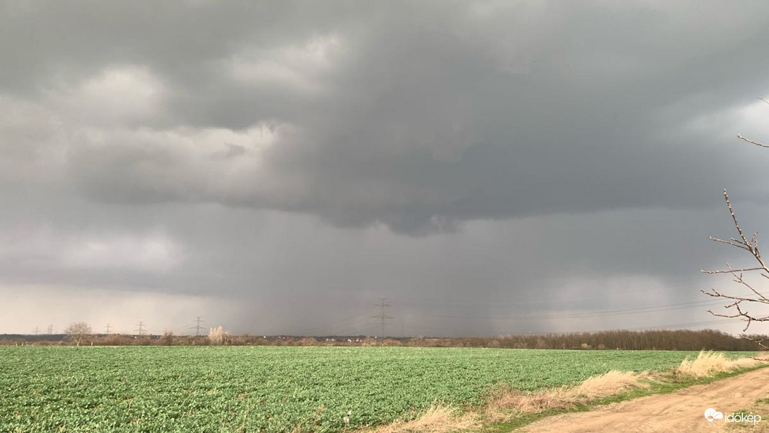
Extreme weather arrives in Hungary. From late afternoon on Monday, showers and thunderstorms may develop in the north and northwest part of Hungary as a precursor to the cold front, with the possibility of one or two becoming more intense.
According to Telex, the showers and thunderstorms might intensify, including a chance of supercells, primarily near the border, moving from west-southwest to east-northeast.
These thunderstorms could bring wind gusts exceeding 90 km/h and hail. Hunaromet has issued an orange warning for Borsod-Abaúj-Zemplén County and a yellow warning for nine other northern counties.
Overnight, the front will approach, enveloping us by Tuesday, trailing behind it a current about 15 degrees Celsius colder than our present conditions. Tuesday will unveil an overcast sky, punctuated by pockets of sunshine in the south and southeast amid heavy clouds.
Showers may sprinkle these regions, while elsewhere, rain is anticipated, especially in several locations across western Transdanubia, possibly even manifesting a shift in precipitation in the Kőszegi Mountains.
As evening descends, precipitation will gradually wane. Along the weather front, strong gusty winds will sweep from the north to the northwest. Daytime temperatures will generally hover between 8 to 14 degrees Celsius, though, in the southeast, they may briefly soar above 20 degrees Celsius midday before descending again.
By Wednesday, temperatures are anticipated to stabilise, reaching highs ranging between 12 to 17 degrees Celsius nationwide. While persistent rainfall is expected to cease, scattered showers remain a possibility, alongside the potential for isolated thunderstorms in the lowlands. Winds from the north-northwest are forecasted to maintain strength, particularly in this region.


